Market Insight: AI Extends Use Cases For Geospatial Data In Climate Analyses

Alice Saunders
Access this research
Access all Climate Financial Data & Analytics content with a strategic subscription or buy this single report
Need help or have a question about this report? Contact us for assistance
Executive Summary
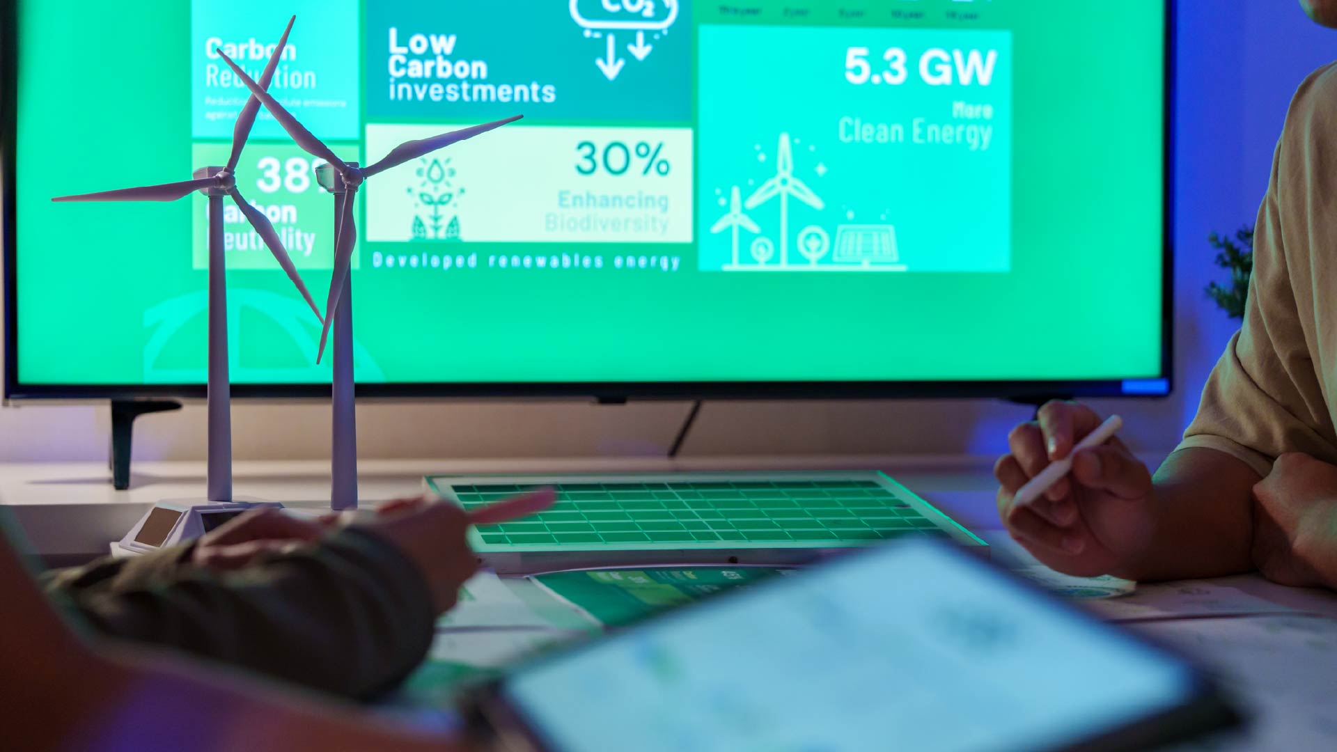
Geospatial technologies, with AI-powered processing and analytics, can offer timely and cost-effective insights for sustainability professionals seeking to understand and make decisions on their biodiversity impact, climate risk exposure and emissions reductions strategies. This report details how the geospatial data market has changed over the past few years and outlines the key climate-related use cases for geospatial technologies. Software vendors and investors should use this report to understand the market and to inform their decisions to invest in, develop or acquire geospatial toolkits.More geospatial data, coupled with AI-powered interpretation, can change the game
Six use cases where AI and geospatial data serve climate strategy
Figure 2. Why geospatial data provide useful climate insights
About the Authors
Alice Saunders
Industry Analyst
Alice is an Industry Analyst in the Verdantix Net Zero & Climate Risk practice. Her current research agenda focuses on climate risk solutions and biodiversity. Alice holds...

Ryan Skinner
Research Director
Ryan is a Research Director at Verdantix, where he leads a team of analysts delivering research, data and advisory services that help clients navigate the fast-evolving landsc...
View ProfileOther related content

Climate financial data has rapidly evolved from a niche ESG capability into an increasingly important input into investment risk assessment and due diligence. As the market matures...

07 July, 2026

Buyers are moving beyond packaged outputs towards raw data, transparency and multi-vendor strategies, forcing providers to rethink how they deliver value in an increasingly complex...
23 June, 2026

EV charging management software is moving quickly from a niche operational tool to a critical enterprise system, and the urgency for buyers is only increasing as the market matures...

18 June, 2026
The SEC moved quickly last week – but not quietly. On Monday, May 4, 2026, the SEC submitted a proposal to rescind its March 2024 Climate-Related Disclosure Rules, which never ...
13 May, 2026

In December 2025, the UK’s Prudential Regulation Authority (PRA) levelled up its expectations on climate risk analysis for financial institutions under its remit. Building on Super...
19 February, 2026

Artificial intelligence (AI) has dominated headlines since the release of ChatGPT in 2022, sparking a wave of rapid innovation and adoption across industries. At Verdantix, we’ve e...
11 February, 2026